Salt Flats
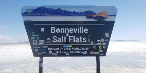
Bonneville Salt Flats
Kelly A.
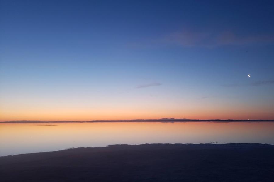
The Bonneville Salt Flats are located in the U.S. state of Utah between the border with Nevada and the Great Salt Lake. They cover about 45 square miles (116.5 sq km) and are managed by the United States Bureau of Land Management as an Area of Critical Environmental Concern and a Special Recreation Management Area (Bureau of Land Management). They are part of the United States’ Basin and Range system.
Kelly A.
Kelly A.
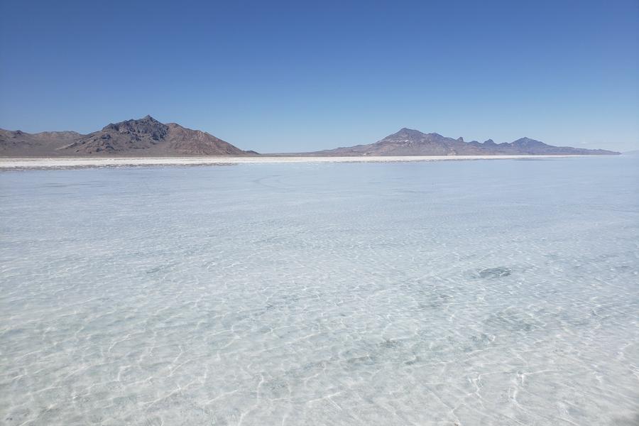
The Bonneville Salt Flats are a remnant of the very large Lake Bonneville that existed in the area about 17,000 years ago. At its peak, the lake was 1,000 feet (304 m) deep. According to the Bureau of Land Management, evidence for the lake’s depth can be seen on the surrounding Silver Island Mountains. The salt flats began to form as precipitation decreased with a changing climate and the water in Lake Bonneville began to evaporate and recede. As the water evaporated, minerals such as potash and halite were deposited on the remaining soils. Eventually, these minerals built up and were compacted to form a hard, flat, and salty surface.
Kelly A.
Today the Bonneville Salt Flats are about 5 feet (1.5 m) thick at their center and just are just a few inches thick at the edges. The Bonneville Salt Flats are about 90% salt and consists of about 147 million tons of salt (Bureau of Land Management).
Kelly A.